Bulgaria and Northern Macedonia already have a unified leveling network
Bulgaria and Northern Macedonia already have a unified leveling network
By Ministry of Regional Development and Public Works
Common leveling lines already connect Bulgaria and the Republic of Northern Macedonia. They are implemented under a joint project of the Geodesy, Cartography and Cadastre Agency and the Real Estate Cadastre Agency of the Republic of Northern Macedonia. It was implemented in less than a year as a result of the Memorandum of Cooperation in the field of basic geodetic activities, cartography and real estate cadastre, geoinformatics and spatial data infrastructure, signed in 2018 in Strumica.
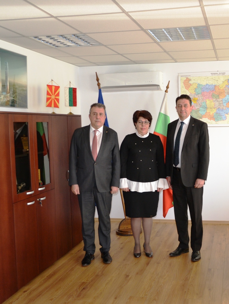
The project provides connectivity of the two countries on 3 border connections: Gyueshevo border checkpoint - Deve Bair; Stanke Lisichkovo border checkpoint - Delchevo; Zlatarevo border checkpoint - Novo Selo. Its implementation was reported at a bilateral meeting at the Geodesy, Cartography and Cadastre Agency in Sofia. It was attended by the Deputy Minister of Regional Development and Public Works Valentin Yovev, the Executive Director of the GCCA Eng. Violeta Koritarova and the Secretary General of the Agency Eng. Vessela Todorova. From the Republic of Northern Macedonia participated Eng. Boris Tundzhev – Director of the Real Estate Cadastre Agency, Eng. Sasha Dimeski – State Counselor at the RECA, and prof. Zlatko Srbinoski of the Faculty of Geodesy in Skopje.
The leveling net is a set of points, materialised by benchmarks, on which measurements are made to determine heights. The data are used in the practice of geodesy, geodynamics, geophysics, oceanology, hydrology and other areas related to altitude and are directly related to investment projects. The leveling benchmarks of the state leveling networks I and II class are included in the United European Leveling Network (UELN). The altitude system is a key element of the Bulgarian Geodetic System 2005, which is re-measured periodically for a period not longer than 20-25 years.
“The work of the Geodesy, Cartography and Cadastre Agency and the geodetic surveyors is not always visible to people and often goes unnoticed, but our activities are directly related to all areas of the economy,” Deputy Minister Valentin Yovev said. He commented that this allows for the use of a single altitude base in the implementation of bilateral projects under various programmes, including cross-border cooperation. According to Eng. Yovev this will support the development of infrastructure, investment projects and the entire economic development of the countries.
Eng. Tundzhev described the project as extremely important for the Republic of Northern Macedonia, because it creates the necessary precondition for connecting the Macedonian State Leveling Network to the United European Leveling Network.
The project successfully achieved not only its work goals, but it also built a joint working team of experts from both countries, which is undoubtedly a prerequisite for fruitful upcoming cooperation on other bilateral projects related to economy, infrastructure, investment design, science and defense, cross-border cooperation, important for both parties, stressed Eng. Koritarova.
During the meeting, attention was paid to the exclusive cooperation of the Border Police of the two countries and the Vocational School of Civil Engineering, Architecture and Geodesy “Vasil Levski” - Blagoevgrad.