By 2021, our country will have a maritime spatial plan
By 2021, our country will have a maritime spatial plan
By Ministry of Regional Development and Public Works


Maritime policy is an indispensable element of regional development
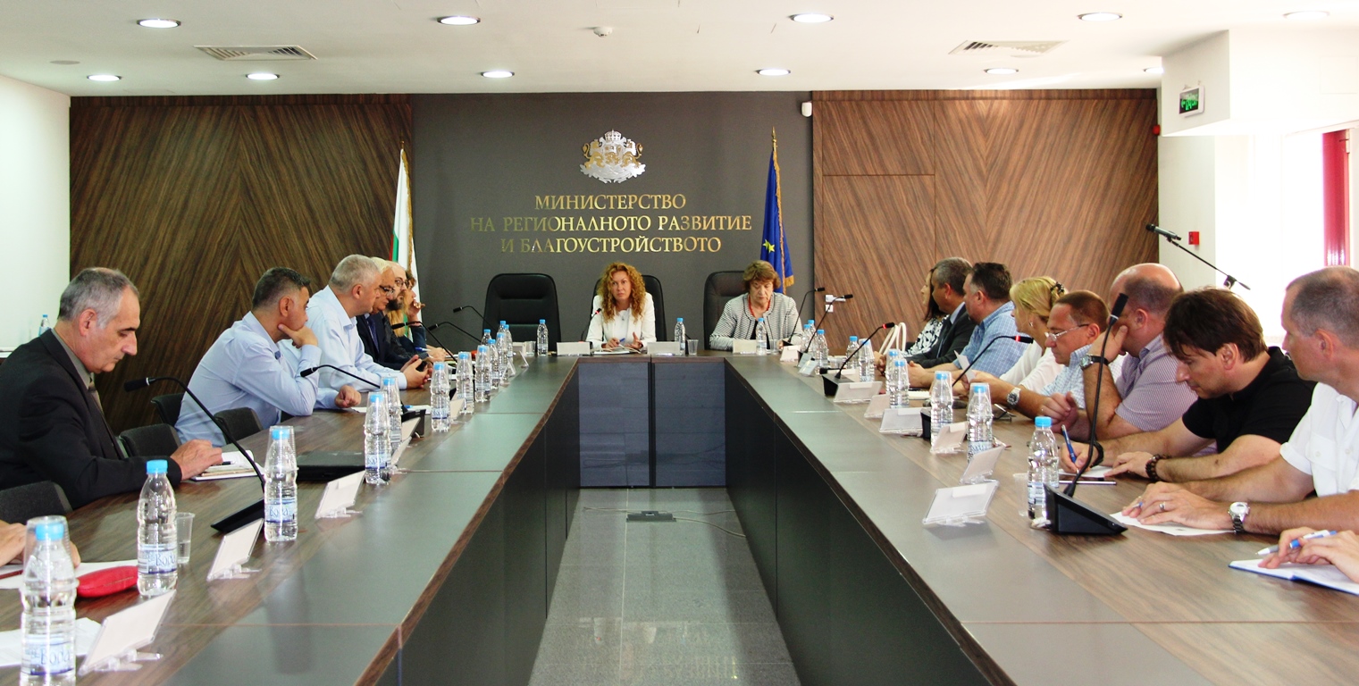
By the end of 2020, the Maritime Spatial Plan (MSP), covering the Bulgarian territorial waters in the Black Sea, should be ready. It is a first step and a fundamental document for the implementation of maritime policy. This was stated by Deputy Minister Denitsa Nikolova, who today chaired a meeting of the Advisory Council on Maritime Spatial Planning under the Minister of Regional Development and Public Works.
The development of the plan is assigned to the National Center for Territorial Development EAD. After its adoption, our country has a deadline to submit it to the European Commission by March 31, 2021, in accordance with the current European regulations and the current European and national legislation. “Maritime policy is an inevitable element of the country’s overall regional policy. The Maritime Spatial Plan will allow us to make the most of the resources of the Black Sea, to identify new potentials for development, to upgrade the implementation of our policies to the territory by transnational cooperation and interaction,” Deputy Minister Nikolova said. She also pointed out that the Ministry of Regional Development and Public Works, as the Competent Authority for MSP issues, aims to unite the efforts of all stakeholders, including at the interstate level, as well as to attract businesses to use marine resources and develop the Black Sea potential, achieving a balance between economic interests and environmental protection. The plan will balance the interests in the various maritime sectors and ensure their sustainable development while preserving the sensitive marine environment. Denitsa Nikolova added that the strategic approach of the plan is to influence the maritime territory, linking it with the land territory and the overall development of the country.
The Ministry of Regional Development and Public Works already has some capacity, as well as a special unit focused on the strategic planning of maritime development. The ministry participates as a leading partner in the second phase of the project on cross-border maritime spatial planning in the Black Sea MARSPLAN-BS between Bulgaria and Romania. Within the pilot first phase, a comprehensive analysis of Romanian and Bulgarian territorial waters and adjacent territories was prepared, the main highlights of the vision of the national maritime spatial plans of the two countries were pointed out, an attempt was made to jointly develop a pilot maritime spatial plan for the Mangalia – Shabla cross-border area. With additional funding of over EUR 1.2 million, the two countries’ maritime spatial plans are being developed with updated GIS models and compatible databases and a common strategy for integrated management of maritime activities in the cross-border region.
The Executive Director of the National Center for Territorial Development EAD Prof. Dr. Arch. Vesselina Troeva acquainted the participants in the council with the progress in preparing the MSP. She stressed that it will operate in the period from 2021 to 2035. It will cover inland waters, territorial sea waters and the adjacent zone, the shelf, the exclusive economic zone and coastal sea waters. The thematic scope includes all activities that are implemented, mobility, use of resources in the water area – shipping, ports and fishing areas, cultural heritage and underwater territory, linear sites of technical infrastructure, protected areas, tourism sites, water sports and marinas, multifunctional zones and protected areas under Natura 2000, military ports and training grounds, etc.
“The requirements for this plan are to integrate the environmental, economic and social aspects, to optimise the land-sea and sea-land interaction, to be coordinated with the spatial development of the country,” Prof. Troeva said. She added that the plan will include an environmental assessment and a compatibility assessment. The GIS system will also be important. It will include all available data gathered by the various institutions, and the data will be upgraded and adapted to the needs of the maritime spatial planning.