Within 5 years specialised maps to the cadastre will give absolutely any information about the property
Within 5 years specialised maps to the cadastre will give absolutely any information about the property
By Ministry of Regional Development and Public Works
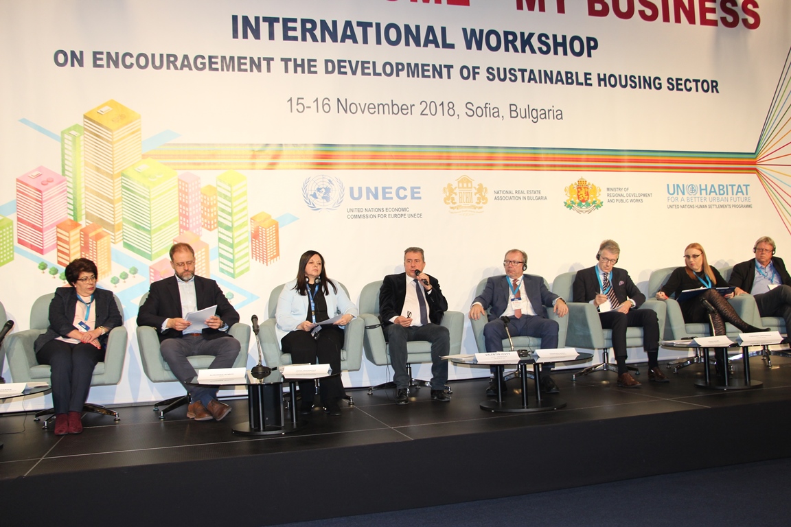

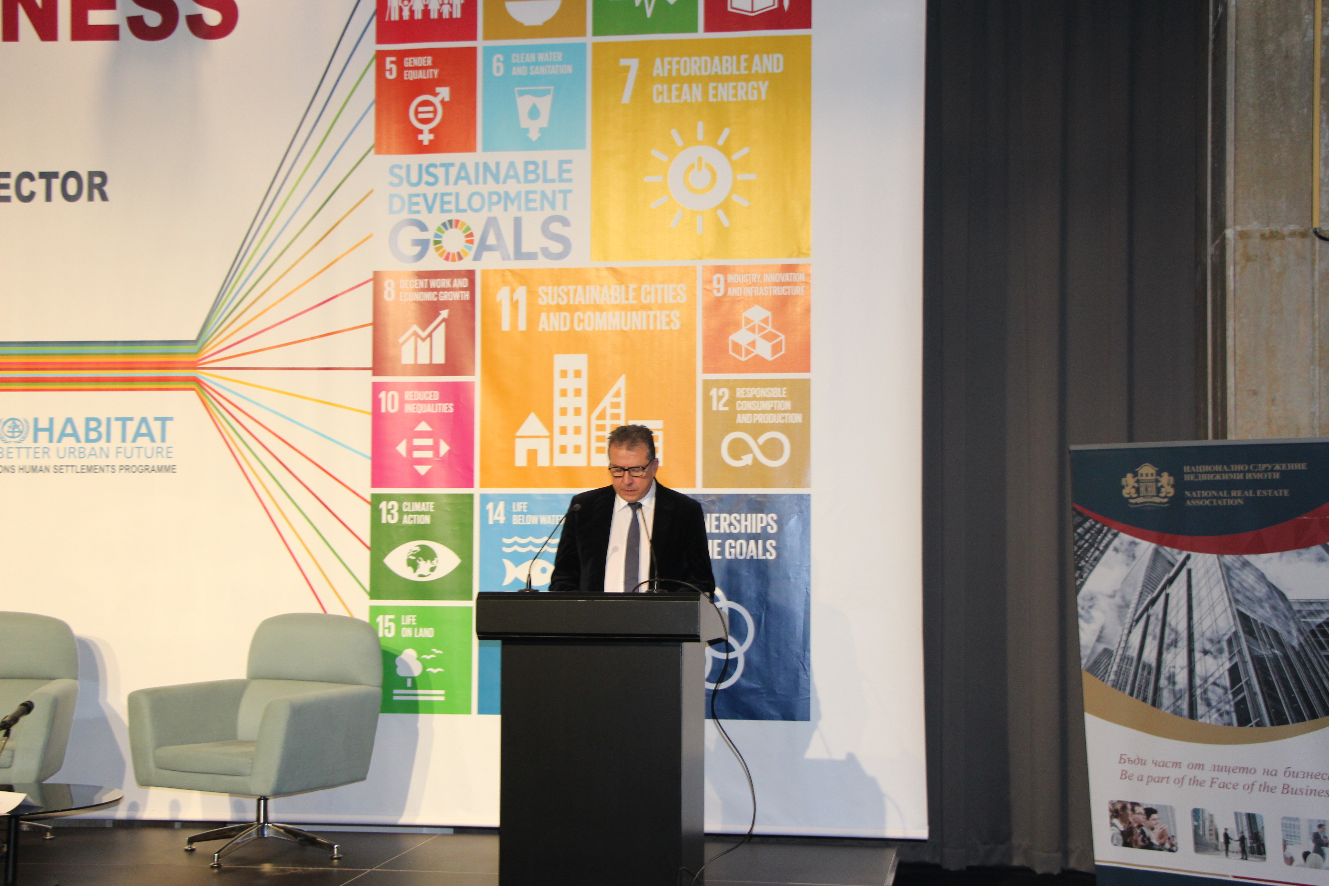

Within 4-5 years the development of specialised maps in various investment areas as upgrading information on the cadastral map will be complete. This was announced by the Deputy Minister of Regional Development and Public Works Eng. Valentin Yovev, who participated in the forum “My city, my home, my business”. The joint initiative of the Ministry of Regional Development and Public Works, the United Nations Economic Commission for Europe, the United Nations Human Settlements Programme and the National Real Estate Association is being held today and tomorrow in Sofia. It aims to promote the development of a sustainable housing sector.
Eng. Yovev noted that the specialised maps are extremely valuable for the planning of different types of zones and investment intentions, because they will contain information about constructions, facilities, easements, underground and aboveground engineering infrastructure, water sources, perennials, mineral resources, relief and more. The Deputy Regional Minister reminded that so far specialised maps have been made only for the zones and sites along the Black Sea coast - the protection zones “A” and “B” and the properties in public state and municipal property. He added that the specialised maps will also contain layers with maps of critical infrastructure, landslide zones, water bodies, as well as possible restrictions on the use of properties or investment intentions in them. “Thus, we will create a complete information system of the cadastre in order to make more informed decisions, both by investors and by credit and insurance institutions, tax authorities, the revenue agency and others. According to the Deputy Regional Minister, the use of cartography and GIS technologies will contribute to solving a number of problems in the fields of ecology, economy, regional development, early warning and disaster management. Eng. Yovev also stressed the importance of developing a new, large-scale digital topographic map for a scale of 1: 5000, because the existing ones are from 1985 and our country is lagging behind in this regard. He also informed that the Ministry of Regional Development and Public Works and the Geodesy, Cartography and Cadastre Agency are to become national coordinators under the INSPIRE directive on the implementation of the state policy in the field of spatial information infrastructure, which is expected to achieve interoperability and harmonisation of spatial data sets, thus ensuring unlimited exchange of data and services between public authorities. Eng. Yovev also said that the completion of the property register is forthcoming, and it is currently available for 6 Bulgarian cities.
Before the participants from Europe, Valentin Yovev stressed that Bulgaria supports the new UN urban agenda and is making efforts to implement it at the national level. “We need a new vision for balanced and sustainable urban development. Bulgaria participates in partnerships - on the topics of urban mobility, climate adaptation and innovative public procurement. It is important to have a balanced territorial development in order to reduce the negative demographic and economic trends in small and medium-sized cities. Bulgaria is one of the countries in the EU with the largest contribution to the activities for sustainable urban development under the OPRG and the programmes for European territorial cooperation,” the Deputy Minister said. According to him, the government and the Ministry of Regional Development and Public Works are implementing several priorities in achieving the expected results from the society. “Improving cadastral registers is one of the leading ideas in the work of the ministry. To date, 68 thousand square kilometers of the country are covered by a cadastral map and registers to it. The information gathered in them is for 13 million real estates. The cadastral maps of the lands of 12 municipal centers and 84 settlements in different districts of the country are being prepared, he added.
The Executive Director of the GCCA Eng. Koritarova noted that at the end of 2019 the drawing of the Map of the restored property on the cadastral map of Bulgaria will be completed. The goal is to achieve coverage of about 96% of the country’s territory. She also noted that most of the cadastre services are offered electronically. “Our task is to provide our customers with quality service on time, which is a challenge. It would be good for all institutions to accept the electronic sketch as an official document. This is allowed by law and a good example is the Chamber of Notaries, which use our electronic sketches,” Eng. Koritarova said. She noted that property owners, in addition to rights, also have obligations to verify the accuracy of property data, to eliminate errors in a timely manner, and not at the last moment, before an investment transaction, in order to avoid tension. Municipal administrations also work as cadastral offices to relieve citizens, she said. “Unfortunately, only 10% of e-services are used by citizens. One of the reasons for this is the lack of electronic signatures by most people. The other main reason is that not all institutions recognise electronic documents, Koritarova commented.