22 districts in the country will have W&S data digitised
22 districts in the country will have W&S data digitised
By Ministry of Regional Development and Public Works
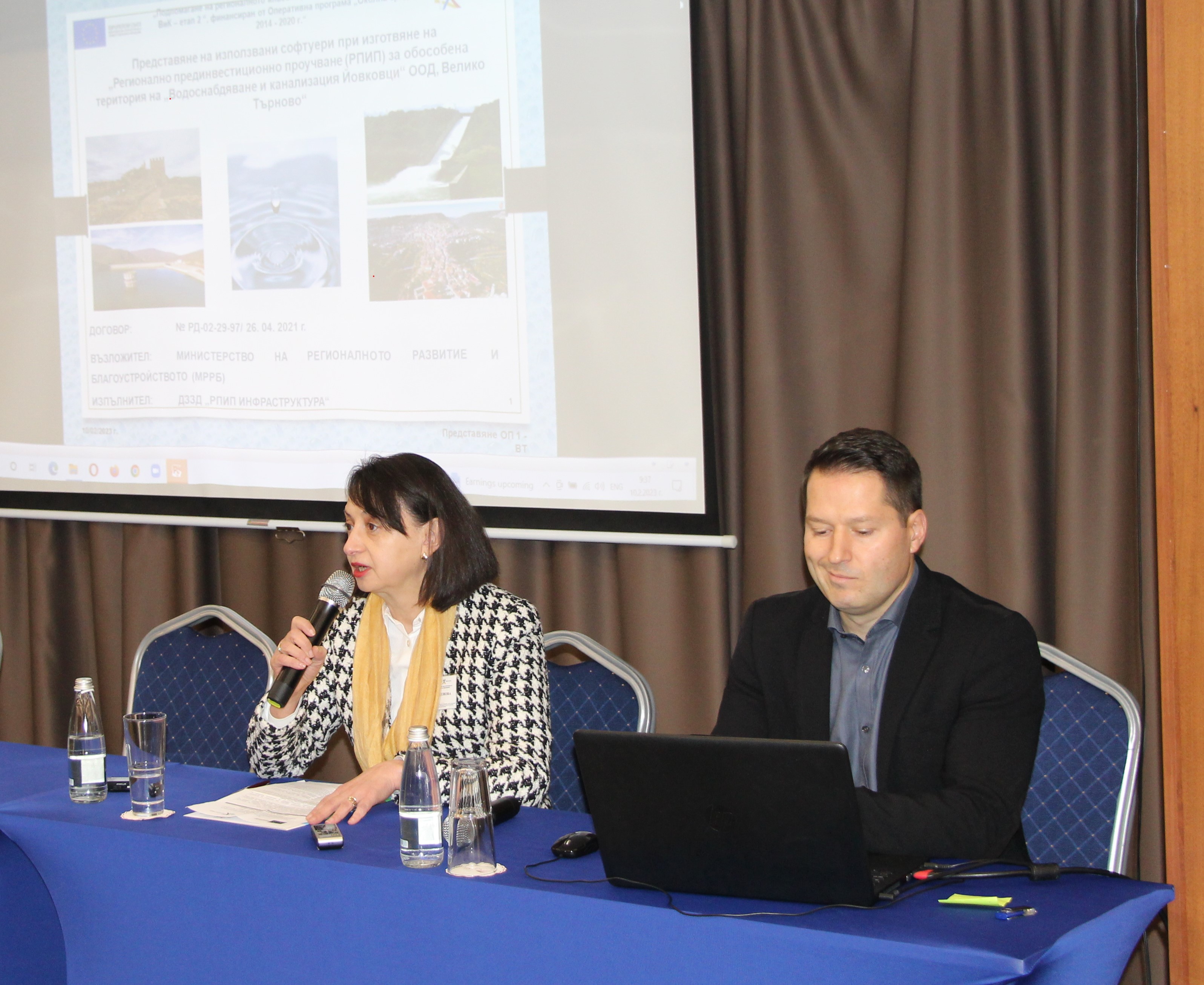
22 administrative districts of the country will have digitized data on available W&S systems. This was revealed during an information event on “Presentation of software used in the preparation of regional pre-investment studies”. It was held within the framework of the project of the Ministry of Regional Development and Public Works “Supporting the regional investment planning of the W&S sector - stage 2”, funded by the Operational Programme “Environment 2014-2020” It was attended by experts from the Ministry, Bulgarian W&S Holding EAD, W&S operators, regional administrations, municipalities and others.
At the event the software technologies used for the preparation of the Regional Pre-Investment Studies (RPIS) funded by the programme for the districts of Veliko Tarnovo, Gabrovo, Pleven, Sofia, Targovishte and Haskovo were demonstrated. In previous years, similar studies were prepared for 16 other administrative districts.
With the advanced technologies used, it is possible to identify problems in the W&S infrastructure quickly and easily, it became clear at the information event. This is important because there are over 90,000 kilometres of water mains and canals in the country. It is inconceivable that all these pipes can be replaced in the same period of time, so we need to take advantage of all investments to increase efficiency and extend the life of assets. The digitisation of W&S systems will allow them to be prioritised in order of importance so that projects can be prepared to bid for repairs.
The amount of work was enormous, as the various teams that developed the studies first checked the available records, which were mainly on paper and located in W&S companies and municipal administrations. In preparing the W&S RPIS, the archival documentation was digitized and is now available in digital form. At the end of the project, these files will be handed over to the W&S companies for use in building their geographic information systems. Access to this digital data will be available to the district and municipal administrations in the administrative area where the W&S associations are located.
Specialists have used various software products that play an important role in developing quality and complete developments, design solutions and calculations, not only in pre-investment studies, but also in any engineering and technical projects. They have been used to survey the existing W&S infrastructure and carry out hydraulic modelling and design for the reconstruction or construction of new networks and facilities. Hydraulic models have been developed to simulate different situations regarding water and wastewater systems. For example, sizing of sewerage systems to accommodate high surges during heavy rainfall and flood protection, or the head of water mains when consumption increases, fire fighting, etc. Detailed hydrological and geological reports are also included.
Modern robots have been used to videotape sewer and water mains to detect sewage infiltration or high-pressure problems in potable mains. This has also identified sections with compromised facilities that need to be repaired as a priority under the various programmes.
The models and methods used in other EU countries for similar projects were used in the preparation of the RPIS.